Introduction
In the rapidly evolving landscape of precision agriculture, the DJI Mavic 3 Multispectral (M3M) drone has emerged as a potential game-changer. This compact and portable drone boasts a range of advanced features, including a multispectral camera, RGB camera, centimeter-level RTK positioning, and impressive efficiency in aerial surveying. In this case study, we will share with you our observations regarding the capabilities of the DJI Mavic M3M and its potential applications in agriculture.

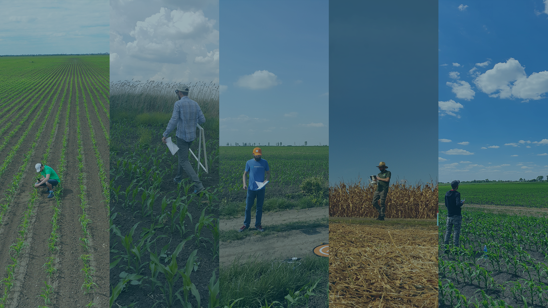
Photo Source > DJI Agriculture
The primary objective of this case study was to thoroughly evaluate the DJI Mavic 3 Multispectral drone’s capabilities, including its multispectral sensor, and assess its suitability for agricultural surveying. DJI requested feedback on the new drone to explore the possibility of forging a technology partnership for agricultural applications. Agremo was approached to provide valuable insights and assessments regarding the drone’s performance and suitability for agricultural use.
Background
The DJI Mavic 3 Multispectral drone is equipped with several features that make it a standout choice for agricultural applications:
- Compact and Portable: The M3M is foldable for easy storage and transportation, making it convenient for fieldwork.
- Multispectral Camera: It features a multispectral camera with four 5MP sensors capturing data in Green (G), Red (R), Red Edge (RE), and Near-Infrared (NIR) bands.
- RGB Camera: Additionally, it boasts a 20MP RGB camera with a 4/3 CMOS sensor and a mechanical shutter.
- Precise Positioning: The drone offers centimeter-level RTK (Real-Time Kinematic) positioning, ensuring accurate georeferencing of collected data.
- Efficient Aerial Surveying: With the ability to cover up to 200 hectares per flight, the M3M promises efficient data collection.
Objective
Our primary objectives in testing the DJI Mavic 3 Multispectral drone were as follows:
1. Evaluate the capabilities of the new multispectral sensor.
2. Assess the overall drone performance and specifications.
3. Determine the compatibility of data collected with the Agremo platform.
4. Measure flight time and efficiency in real-world weather conditions.
5. Examine the ease of use of a drone with a multispectral sensor.
6. Identify autonomous drone control applications for this type of drone and sensors.
7. Analyze the resolution achievable with the RGB and multispectral sensors under different flight parameters
8. Assess mapping accuracy with enabled RTK.
The Agremo Customer Success team performed testing at 50 locations for Field Trials and 200 Conventional production sites.
Key Findings
Following extensive testing and analysis, the following key findings were observed:
- Suitability for Agricultural Mapping: The DJI Mavic 3 Multispectral drone proved to be highly suitable for mapping agricultural fields, offering precise and comprehensive data collection.
- Enhanced Efficiency: Compared to other top-tier multirotor drones, such as the Mavic 2, the M3M demonstrated a remarkable 50% increase in efficiency. It covered 50% more Area of Interest (AoI) per flight, significantly reducing operational time and costs.
- RGB Sensor Resolution: The M3M’s RGB sensor provided a resolution (Ground Sample Distance – GSD) very close to the Mavic 2 PRO, particularly at 40m of flight altitude with 80% front overlap and 70% side overlap.
- Mavic 2 PRO: 1.0 cm/pix
- Mavic 3 Multispectral: 1.1 cm/pix
- Ease of Use: Operating the M3M with a multispectral sensor was no more complicated than using the Mavic 2 PRO. DJI’s multispectral sensors do not require calibration before mapping, maintaining a familiar workflow.
- Autonomous Control: The DJI Pilot 2 application proved to be user-friendly, and with DJI Terra, flight plans could be created in the office. The drone also allowed for battery changes during missions to cover large fields seamlessly.
- Data Compatibility: Raw data captured with the M3M was suitable for the Agremo stitching feature, and maps processed with Agremo stitching were suitable for analysis, at least for the RGB data set. Further testing is required for the multispectral data.
- Flight Time: The M3M demonstrated impressive flight times, with up to 33 minutes on a single battery. This extended flight time allows for extensive data collection in a single mission.
Resolution with Different Flight Parameters
RGB Sensor
2.6 cm/pix at 100m altitude and 80%/70% overlap
1.6 cm/pix at 60m altitude and 80%/70% overlap
1.1 cm/pix at 40m altitude and 80%/70% overlap
Multispectral Sensor
4.6 cm/pix at 100m altitude and 80%/70% overlap
2.7 cm/pix at 60m altitude and 80%/70% overlap
2.3 cm/pix at 40m altitude and 80%/70% overlap
Mapping Accuracy with Enabled RTK
Mapping accuracy is correlated with GSD. For M3M, the mapping accuracy is using 1-2 GSD. For example, when mapping at 100m altitude, the GSD is 2.6cm, and the accuracy would be around 2.6-5.2cm.
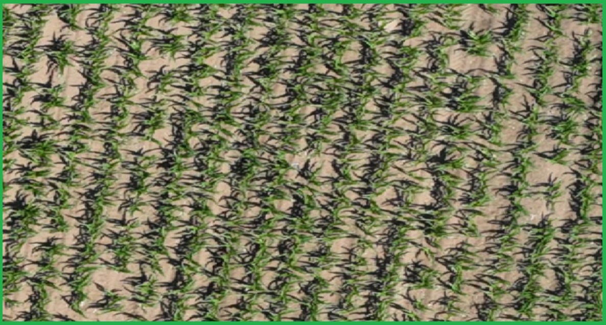
Map Source> Agremo app- Corn_V2 phase_ RGB map
Conclusion
In summary, the DJI Mavic 3 Multispectral drone represents a significant leap forward, particularly with its camera enhancements, offering distinct advantages over DJI’s previous flagship drone, the Mavic 2 PRO. These advantages encompass increased efficiency, seamless data integration, and the exciting potential for multispectral analysis. Its improved flight performance and user-friendly interface position it as an enticing choice for precision agriculture applications, solidifying its status as a valuable tool for farmers and agricultural professionals seeking cutting-edge aerial surveying capabilities.
