Human expertise amplified with artificial intelligence
Human expertise amplified with artificial intelligence
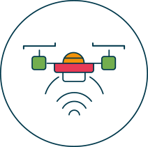
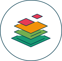
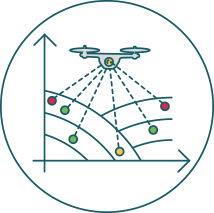
Agremo product workflow has several steps. First, aerial data are taken using drones operated by farmers and growers or by other agricultural professionals like drone operators and agronomists. Next, once all the images get stitched into a map, everything is uploaded to the Agremo web app. The next step is to request a specific type of analysis. Then, sophisticated AI software is leveraged to create easy-to-use and easy-to-understand data in shapefile, PDF, and CSV which can be shared with your clients or colleagues. Finally, Agremo provides you with actionable insights that they can upload to 3rd party software and use throughout the growing season. Use Agremo App to keep all fields and maps in one place and gain complete insight into mapping data and results at any time. You can also rely on the map comparison tool and analyze your field from different time periods to make accurate conclusions and take the most optimal actions in the future.
Use any type of drone with RGB or MS sensor. Recommended GSD 2.5cm/pix
Integrated for the seamless creation of GeoTIFFs when you don’t have one.
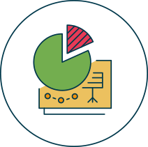
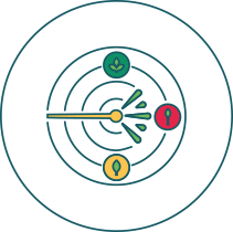
Choose between plant numbers and deferent plant health and field performance indicators.The process requires just a few clicks.
AI reports go beyond NDVI. Delivery time is within 2 business days, with an average time of 30 hours. Plant health index reports such as NDVI are instant.
VRA Tool for spraying maps (herbicide, fungicide, growth regulators, fertilizer). Create multi-zone and variable rate maps with just a couple of clicks.
Outputs ready for ground machinery (SHP) and DJI AGRAS spraying drones (Tiff).
Free demo - no credit card required
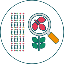
Agremo product has become the leader in the agriculture software industry thanks to the sophisticated and unique technology it leverages. Artificial Intelligence, Machine Learning, and Computer Vision are employed to identify, classify, and quantify complex spatial (3D)-spectral-temporal patterns within image data, giving the most accurate and unmatchable analysis results. The product can be used with any commercially available drones and most common sensors, such as RGB, NIR, and multispectral so that Ag professionals can have a quick and effortless start.
Agremo is a prime example of how human expertise and intelligence are combined with cutting-edge technology. The team of drone professionals, software engineers, Ag experts and agronomists have transformed their expertise into the piece of software which provides actionable field and crops insights for all Ag professionals. Thanks to the team’s continuous support, Agremo provides full access to the valuable sources of information on precision agriculture that help develop your work.

Our software engineers and agricultural experts have developed complex Agremo analysis algorithms using real customer data. The Ag experts train and supervise the AI knowledge base and thanks to their expertise and commitment, you get reliable and clean data that is actionable and easy-to-understand.

Agremo's AI solution turns DJI's drone imagery into actionable insights, and its recipe maps make our AGRAS drone a truly intelligent and precise spraying tool." The integration of the Agremo platform between Agremo and the DJI drone is a turnkey solution for precision agriculture.
The biggest benefit for farmers who use drones and Agremo reports is that they increase their yields, reduce costs or improve their productivity. In the end, all these benefits are lead to extra profits.
Agremo Stand Count analysis shows how successful seeding was and how many plants farmers will be able to harvest. Withal, it can help to apply different sowing standards in different parts of the plot, in order to achieve the highest yields.
