If you have received a notification mail stating that your image could not be processed, don’t worry. Make sure you have eliminated the factors which usually cause analyses to fail and simply resubmit your image.
Some of the most common reasons are:
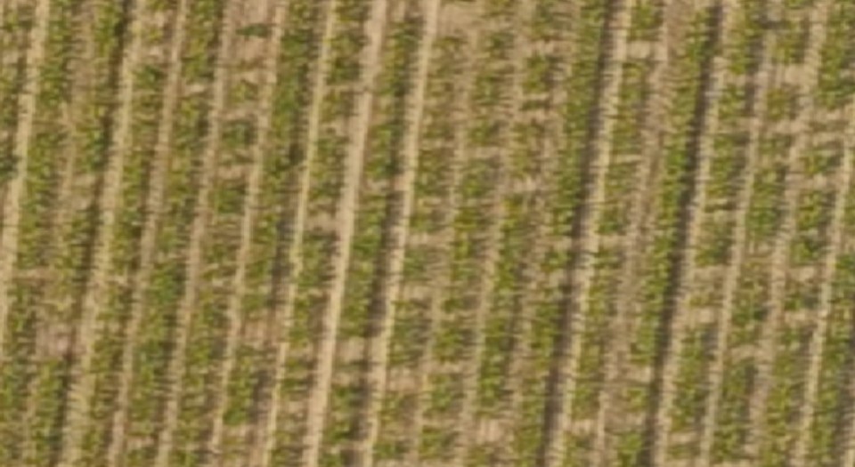
- Low-resolution image
- Low-quality image (blurry)
- More than one crop species in the image
- Object blocking area view (shadow, house, anti-hail wire)
- Poor visibility due to weather conditions (clouds)
- Premature crops (hard to detect)
- Canopy cover missing
CAMERA
We recommend using an RGB camera. It is very affordable and all Agremo analyses can be done with it.
IMAGE REQUIREMENTS
Use the flight altitudes that allow you to obtain a resolution of 1-2 cm/pixel. Read more about it in the Capturing & Uploading data section.
EXAMPLES OF BAD IMAGES
Low resolution and a blurry map
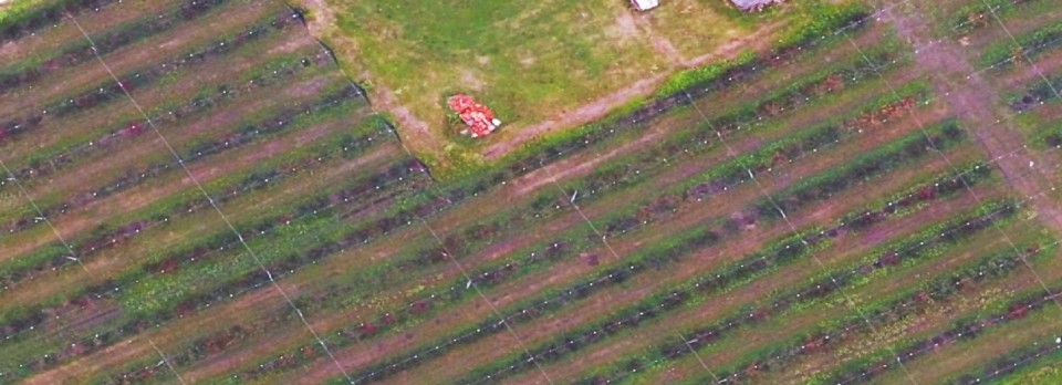
Poorly stitched map with blurry areas
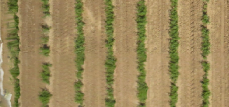
Hardly detectable premature crops
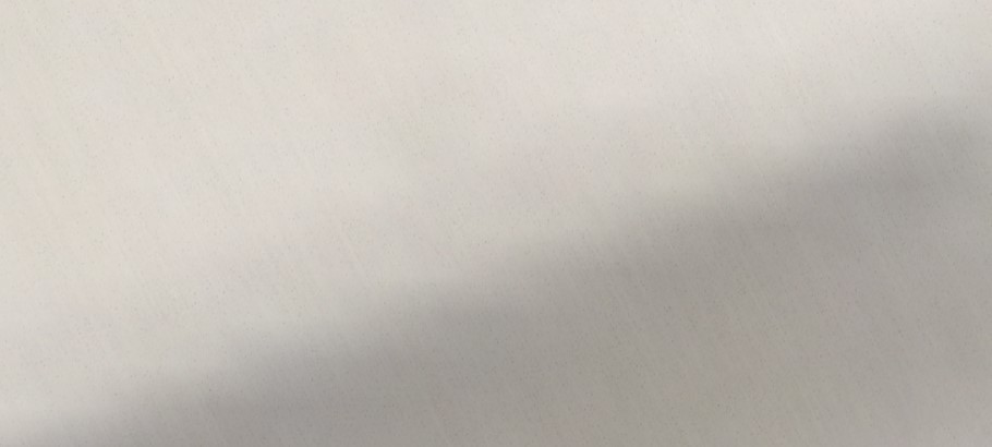
Objects blocking area view – Hail wire mash
Trees without canopy

NDVI images already processed by a 3rd party software

If you need any additional help with flight parameters, feel free to contact us at [email protected].

