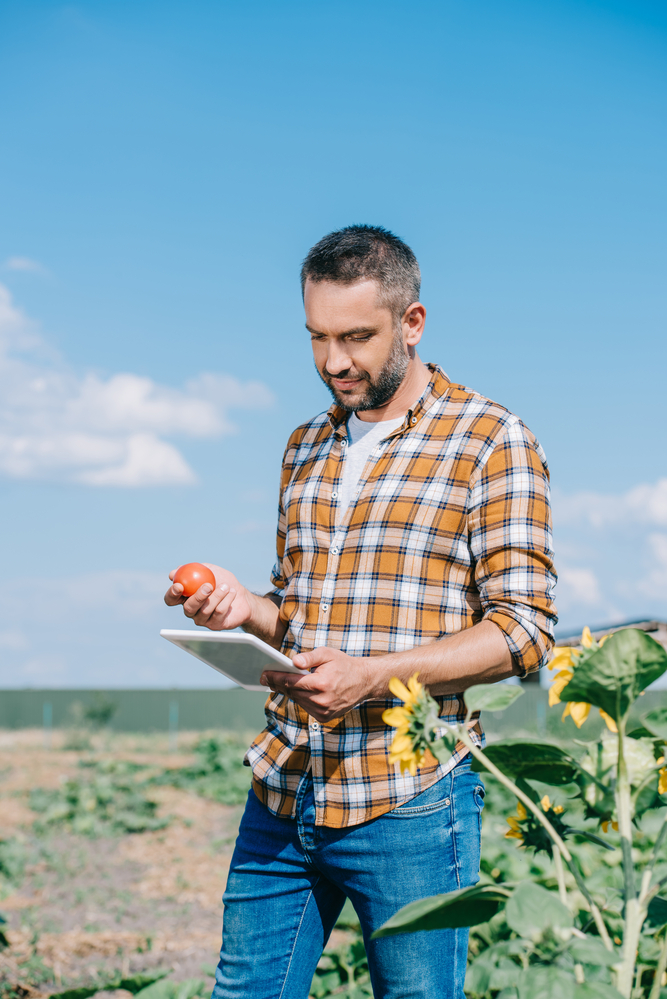
Remote drone image analysis is a reliable way to gather information on the crop condition and status to make informed decisions about farm management. Toshiro Aoki, an agricultural consultant from Northern Carolina, opted for this precision agriculture technique to obtain objective and indisputable data on plant count to recoup transplanting costs.
Successful planting is crucial for getting a good yield. The external company Toshiro Aoki had engaged to transplant tomatoes in his 74 acres guaranteed that crop loss would be limited to 5%. However, Toshiro suspected that the crop loss rate was much higher.
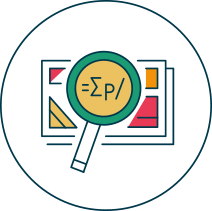
He prepared a 2D map from stitched photos taken by remote sensing with a DJI Matrice 100 drone. He uploaded the photos to the Agremo web app to use our Stand Count analysis. In addition, he provided the plant numbers guaranteed by the planting company.
Agremo software used Artificial Intelligence, Machine Learning, and Computer Vision processes to analyze and count the tomato plants. The final report, which was sent within two days, provided the precise number of tomato plants on the field and calculations that 26% of the expected crop population was missing.
Toshiro received quantified data and a map depicting areas with missing plants which he could easily share with his external planting company. He was ready to begin discussions to recoup planting costs.
Toshiro Aoki had planted tomatoes in 74 acres. Like many farmers, Toshiro had engaged an external specialized organization for transplanting to minimize risks of plant losses.
However, it is difficult to get 100% survival in transplanting. The age of seedling, size of the container, seedling hardening processes before planting, and proper depth of placement can all make a big difference.
Crop survival losses can affect yield because, though replanting is an option, the seedlings planted later will give less yield. As a result, a farmer’s overall Return on Investment (ROI) will reduce.
Keeping track of the number of plants on a farm is vital, however, have said they have problems estimating crop loss due to inaccurate plant counts.
Toshiro, too, wanted to count the plants on the field accurately. His external planter’s policy guaranteed that crop loss would be less than 5%. If he could prove the crop loss was greater, he would be able to hold the planting company accountable and recoup planting cost.
Toshiro’s problem was not unique, as nearly getting accurate and reliable stand counts would help them verify the effectiveness of an externally-performed transplant.
It was not just recouping planting costs that were at stake due to crop loss but also planning for further operations like fertilization, irrigation, etc.
Toshiro needed a rapid method to count plants on the 74-acre farm and data on crop count that was reliable, objective, and accurate. The results would have to provide a precise overview of the situation on the farm, so he could then make a decision about taking the matter up with the external planters.
These requirements could not be met by traditional, manual scouting methods that farmers use to check their farms.
Farmers often scout their fields in person to monitor the development of their crops and check for problems. One of the most common methods is walking across the fields and observing the plants. In such situations, farmers use notebooks or mobile phones to record plants and areas with problems.
Unfortunately, manual scouting is not a reliable method for acquiring an accurate estimate of plant counts to determine the success of transplanting. Toshiro realized it was going to be practically impossible to count the standing plants on his 74-acre farm by scouting or to calculate the total area where plants were missing. He had to contend not with large bare areas but gaps left by individual plants. Moreover, Toshiro was worried about underestimating or even overestimating the number of missing plants. If he had to recoup planting costs from the external planters, he would first have to obtain objective and indisputable data.
Besides being ineffective, manual estimations would cost him a significant amount of time and money. Faced with these problems of traditional scouting, Toshiro decided to look for another option. He had read about precision agriculture on the internet and heard about it in agricultural fairs he attended and wanted to try this new technique.

Precision agriculture is a new approach. Detailed farm crop information is used to make management decisions about a range of operations, from irrigation, fertilization, and pest control to setting harvest dates.
Toshiro found exactly what he was looking for on the DroneDeploy platform. It was the Stand Count software solution provided by Agremo. The Agremo app was developed in collaboration with remote sensing experts and academic institutions.
To use the stand count solution, Toshiro needed remote sensing images and the expected number of plants for a specific area. The software then analyzes the images and the information to provide two results:
Since Toshiro was given the expected number of plants for his farm by the external planters, the evaluation of transplanting success on his farm was precise.
There were several other advantages that Toshiro could expect from the software:
Toshiro decided to handle all the necessary processes himself, even though he had the option of employing a drone operator. He was required to complete three steps:
To be able to use the Stand Count solution, Toshiro first had to get high-resolution images of his field.
He chose a DJI Matrice 100 drone and flew it at an altitude of 290 feet. The process was simple and took him only half an hour.
Toshiro used the DroneDeploy photogrammetry software to make detailed maps of the whole field.
Toshiro uploaded the map prepared for the stand count analysis. The most challenging part of the whole operation, analyzing the images and converting them to figures, was handled for Toshiro by Agremo.
The report was sent to him the next day in the two file formats for easy sharing: as a pdf with summary statistic and the shapefile with plant population zones
Free demo - no credit card required
Toshiro’s remote sensing report showed very clearly that his fields had 26% fewer plants and not 5% as his planter had initially claimed.
He had a rigorous report backed by real-time images and plant counts that he could show to his planter. Toshiro had rapidly completed the most difficult step in trying to recoup planting costs.
A 26% loss of crop meant that out of 74 acres, 19 acres were empty.
Besides being able to recoup planting costs, there were several other benefits for Toshiro. A single analysis could now guide his operations through the entire season. He was able to make the following changes based on the Agremo report:
Earlier, Toshiro would have spread nutrients and water uniformly over the entire field, regardless of plant densities. This would have led to a waste of resources and an increase in his investments. With the detailed picture of plant survival that Toshiro received thanks to remote sensing, he could now optimize the use of resources, giving more where needed.
Every farmer aims to get the best ROI with their crop. Precision agriculture is an additional management tool that can be used by existing farms at any stage of the crops. It can help farmers reduce costs as well as improve yields.
Using external planters can be a substantial part of the total cost of a crop. By relying on remote sensing, Toshiro was able to prove that the crop loss due to transplanting was around 26% instead of 5%, as claimed with accurate data and state-of-the-art technology. Owing to objective and quantified data he obtained, he received higher respect from the planter.
Though the loss of a fourth of his crop was hard for Toshiro, he can at least reduce expenses by recouping the planting costs. Also, reducing the use of resources could help to grow his ROI and improve profits.
The success of a farm depends on constant monitoring, correct decisions, and timely execution. Precision agriculture methods can aid in two of these steps to add value to a farmer’s time and investment.
Free demo - no credit card required