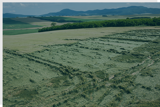
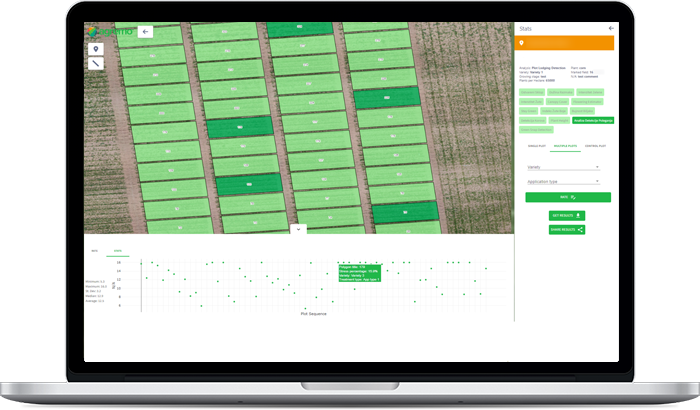
Lodging Detection analysis shows the exact location and percentage of lodged plants & zones, usually stressed by storms, winds, soil density, overpopulation, and high nitrogen levels. The report you receive contains accurate and vital information about the crop damage which will help you assess the crop damage and calculate its economic impact.
with drone-based analysis. It helps you inspect more fields in one day & digitize your crop insurance solutions.
With Lodging Detection analysis, you can get an accurate and unbiased report and thus prevent overpaying or underpaying your clients. Field inspection is a tricky and time-consuming job and can easily lead to errors due to unfair conditions in the field. Don’t spend hours on manual measurement of crop damage when you can quickly evaluate aerial imagery and detect the areas with lodged plants.
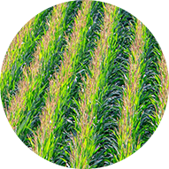
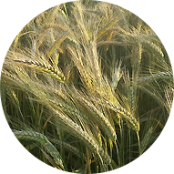
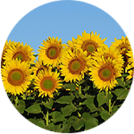
Lodging Detection analysis can be performed on the fields of different crops: corn, wheat, sunflower, barley, and rice in the growth or maturity phase.
Lodging Detection detects plants that are laid down due to a heavy storm whereas Green Snap Detection detects plants that are broken.
An RGB map, but it is also recommended to upload a ground truth image of the phenomenon or to label a phenomenon in the field by drawing annotation.
After you receive the analysis results, the percentage of the area that contains lodged plants will be visible in the right sidebar of the app dashboard, as well as the exact number of hectares/acres.
Stand Count analysis was successfully applied on over 100 different crops. The majority of users stick with RGB images, so if you have one, there is no need for any other sensor. In addition to the RGB, we also support multispectral and NIR.
This analysis result unlocks Agremo’s Zone Management tool that can be used to divide fields into zones and plan future farm activities with utmost precision.

Agremo's AI solution turns DJI's drone imagery into actionable insights, and its recipe maps make our AGRAS drone a truly intelligent and precise spraying tool." The integration of the Agremo platform between Agremo and the DJI drone is a turnkey solution for precision agriculture.
The biggest benefit for farmers who use drones and Agremo reports is that they increase their yields, reduce costs or improve their productivity. In the end, all these benefits are lead to extra profits.
Agremo Stand Count analysis shows how successful seeding was and how many plants farmers will be able to harvest. Withal, it can help to apply different sowing standards in different parts of the plot, in order to achieve the highest yields.