Ground truth sharing

Ground truth can help you find the required phenomenon (plant stress, weeds, diseases, etc.) on the map. Using the Ground truth image, the algorithm distinguishes between the required phenomenon and others.

Ground truth is easiest to add with a pin or via polygons (annotations):

agrocultural-tools-analytics

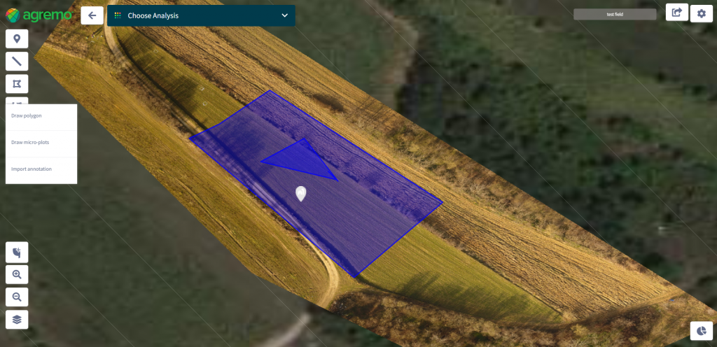
Have in mind that the polygon where you want to add ground truth images must be inside another polygon. 

precision-farming-ground-truth

When you share a map, you also share pins and the ground truth images. This is a convenient way to share all the data with your agro-advisor.

What our partners are saying

GET A DEMO

DJI Agriculture

Agremo's AI solution turns DJI's drone imagery into actionable insights, and its recipe maps make our AGRAS drone a truly intelligent and precise spraying tool." The integration of the Agremo platform between Agremo and the DJI drone is a turnkey solution for precision agriculture.

Ciprian Iorga

The biggest benefit for farmers who use drones and Agremo reports is that they increase their yields, reduce costs or improve their productivity. In the end, all these benefits are lead to extra profits.

Zdravko Hojka

Agremo Stand Count analysis shows how successful seeding was and how many plants farmers will be able to harvest. Withal, it can help to apply different sowing standards in different parts of the plot, in order to achieve the highest yields.