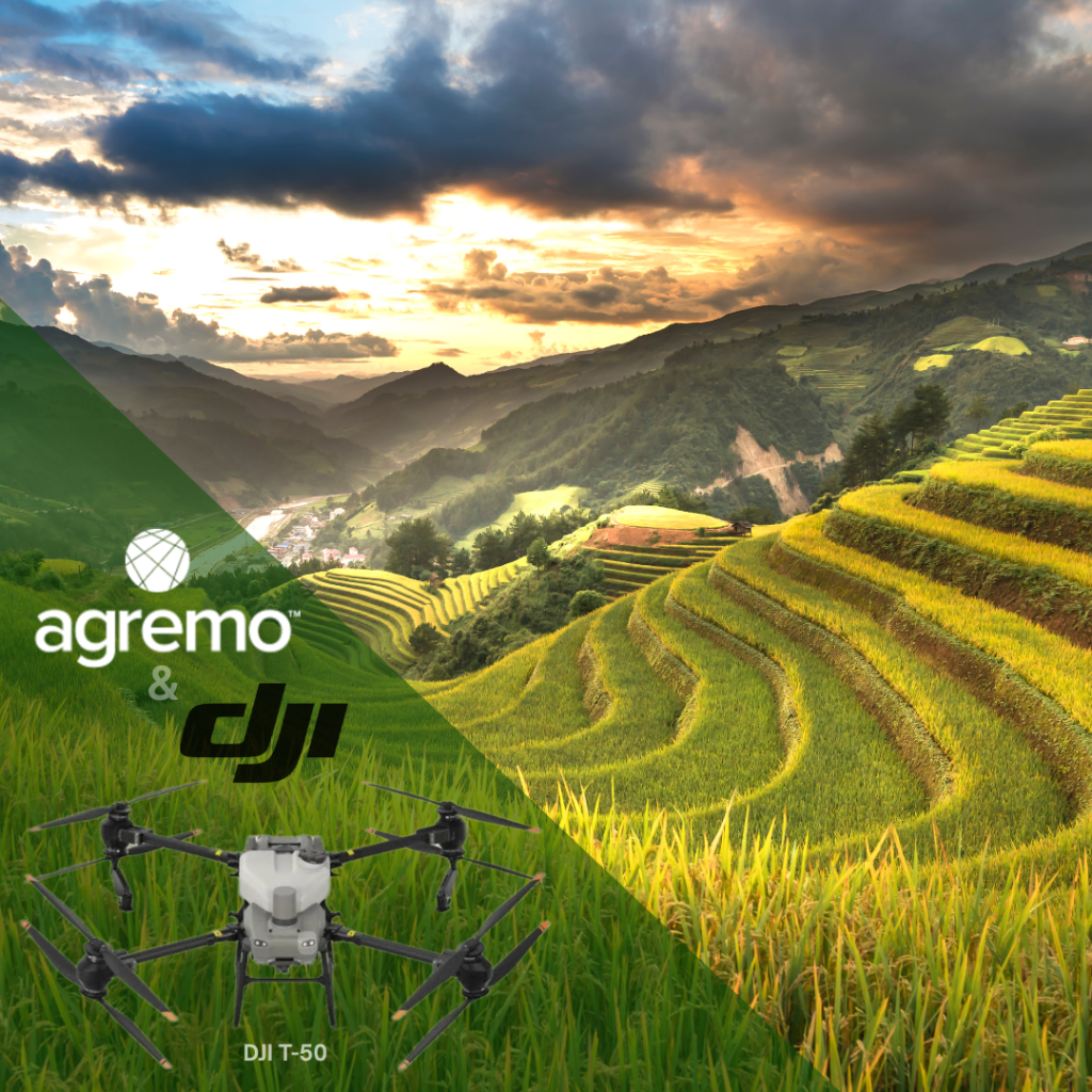
İpsala, a district of Edirne, is known as Türkiye’s rice capital, producing nearly 30% of the country’s rice on more than 25,000 hectares. However, rice farmers in this region face a tough challenge: weed control. In waterlogged rice paddies, fast-growing weeds such as Echinochloa crus-galli (barnyard grass) and Diplachne fusca (sprangletop) thrive. As a result, these weeds can greatly reduce crop yields if not controlled properly. Research shows that D. fusca can cut rice yields by 48–88%, while E. crus-galli lowers yields by 12–43%. Moreover, in severe cases, these weeds can slash production by up to 80%. Therefore, delayed weed control or blanket spraying not only increases costs but also wastes resources.
In collaboration with our clients, TDT Tarımsal Drone Teknolojileri and Daze Tarim, Agremo AI analyses were applied to tackle this problem with precision. By detecting and mapping weed infestations early, farmers were able to optimize herbicide applications, which allowed them to significantly reduce chemical usage. The result: an impressive 88% savings on herbicides, achieved without compromising yield. This project demonstrates how AI-powered agricultural solutions can transform traditional rice farming by cutting costs, minimizing environmental impact, and securing higher production efficiency.

Rice Field Overview – Weed Control with DJI Drones:
- Crop: Rice 🌱
- Weed type: Echinochloa crus-galli (barnyard grass) i Diplachne fusca (sprangletop) 🌿
- Field size: 62.51 ha 🗺️
- Growth stage: BBCH 20-29 🌾
- Mapping drone: DJI Dock 2 – Matrice 3D 🚁
- Image Processing: Agremo Platform
- Analysis: Weed detection analysis + Spraying tool 📊
Mapping & Data Collection with DJI Drones
Field Mapping for Precision Weed Management
To begin the project, our client carried out mapping of a 62.51-hectare rice field using the DJI Dock 2 – Matrice 3D drone. For this use case, an RGB map was sufficient, providing precise and reliable data collection with sharp, high-resolution imagery.
Flight Parameters for Drone-Based Weed Control
- Altitude: 70 m
- Speed: 15 m/s
- Resolution: 2.5 cm/pixel
- Duration: 24 min 36 s
Data Stitching and AI Weed Detection Analysis in Agremo
The Agremo platform seamlessly stitched all mapped images, generating a high-resolution RGB orthomosaic ready for AI analysis. The requested AI Weed Detection analysis is a unique solution in the precision agriculture market, capable of identifying weeds even in the most challenging conditions, such as the green-on-green case where crops and weeds share similar colors. This advanced analysis provides precise locations and accurate measurements of weed-infested areas, which is of critical importance for rice fields where weed pressure directly impacts yield and input efficiency. By detecting infestations early and at scale, growers can make informed decisions, reduce unnecessary herbicide use, and ensure healthier, more productive fields.

Creating a Variable-Rate Spraying Map for DJI Spraying Drone
With the Agremo Spraying Tool, the system automatically generated a variable-rate spraying map, dividing the field into three distinct zones. Farmers assigned the maximum herbicide dose to areas with the highest weed density, applied a reduced dose to zones with medium weed presence, and skipped spraying in weed-free parts of the field. This precision spraying approach ensures that chemicals are applied only where needed, reducing input costs and minimizing environmental impact. The Spraying Tool creates accurate variable-rate zones and automatically calculates the total amount of treatment required. As a result, it highlights the savings achieved, thereby improving efficiency. For rice growers, this translates into smarter weed control, optimized use of herbicides, and healthier, more sustainable fields.

Targeted Spraying for Rice Herbicide Reduction
To execute the variable-rate spraying map, a DJI T50 spraying drone was used for targeted herbicide application in rice fields.The integration between Agremo and DJI Spraying drones is seamless: a dedicated folder for DJI Spraying drones is created in Agremo, containing the prepared variable-rate map that can be easily uploaded to the drone, ensuring precise and efficient spraying operations.
Flight parameters:
- Altitude: 4 m above the crop
- Speed: 7 m/s
- Spraying width: 8 m
- Droplet size: 200 microns
- Duration: 7 hours
- Wind speed: 3 m/s
By combining variable-rate spraying maps with drone technology, rice growers can optimize weed management, lower input costs, and increase overall field productivity.
Impressive Outcomes – Efficient Weed Control & 88% Less Pesticide
Out of a total of 62.51 hectares, weeds were accurately identified on just 9.5 hectares, resulting in an impressive 88.8% reduction in pesticide use, which translates to a cost savings of approximately € 750.
This highlights the power of precision rice weed management, achieved through Agremo’s AI-driven analysis and DJI T50 drone spraying. By targeting only infested areas, rice growers can achieve efficient herbicide application, reduce operational costs, and minimize environmental impact. The integration of drone spraying technology with AI-based weed detection supports more sustainable rice production and smarter decision-making in modern precision agriculture.

Insight from our client
“Our experience with Agremo’s AI-driven weed detection and DJI T50 drone spraying has been truly transformative. We precisely identified weeds and targeted only infested areas. As a result, we significantly reduced pesticide use, saving both costs and resources. The integration between Agremo and the drone made the workflow seamless. Consequently, the results exceeded our expectations. This precision agriculture approach has improved the health and yield of our rice fields. Moreover, it has strengthened our commitment to sustainable farming practices.”
— Burçak S, Daze Tarim – Agriculture Engineer & UAV Pilot

